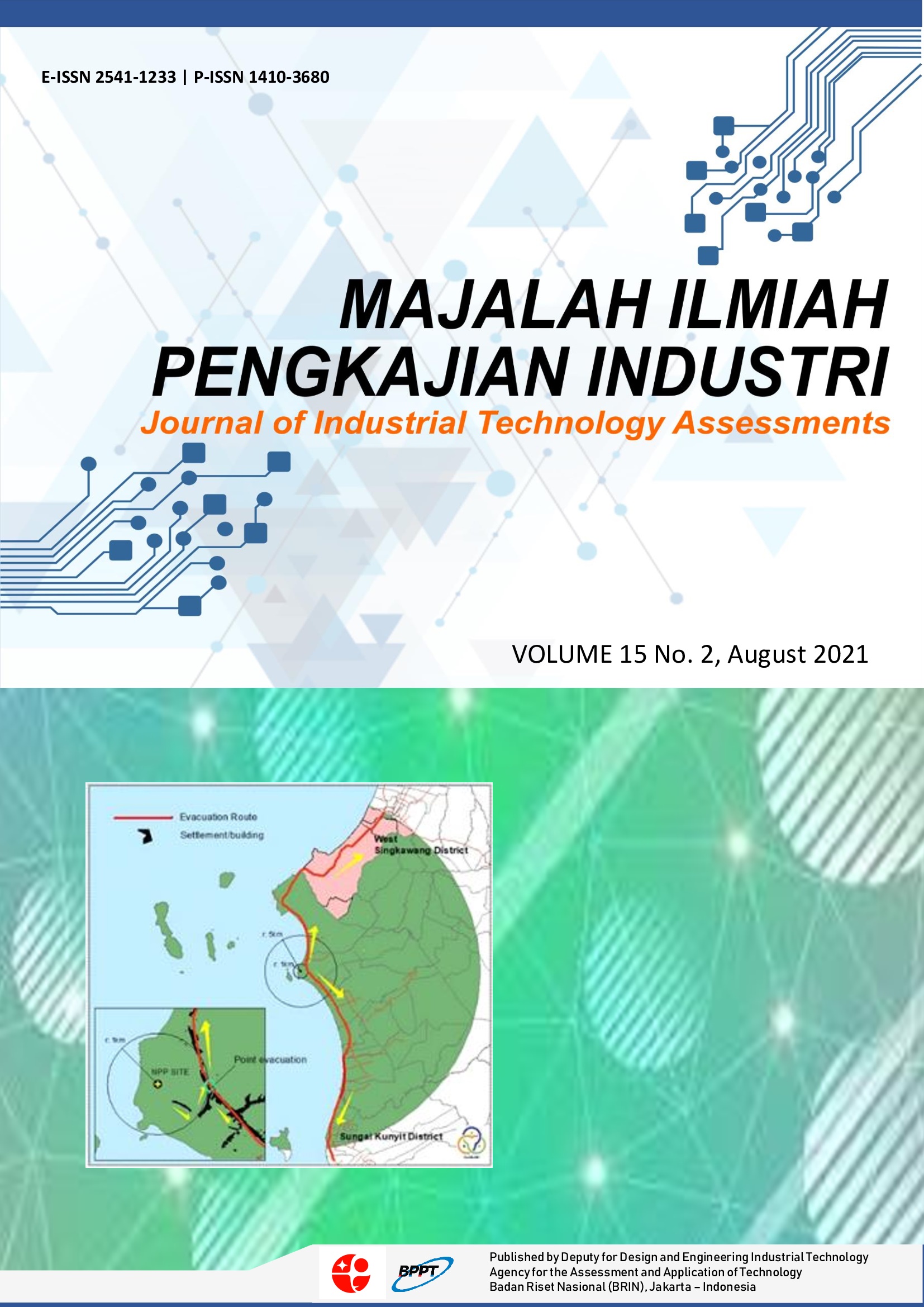
HYDRODYNAMIC AND BOUSSINESQ WAVE MODELING FOR THE N219 AMPHIBIOUS AIRCRAFT SEAPLANE DOCK DEVELOPMENT PLAN IN PANJANG ISLAND
DOI:
https://doi.org/10.29122/mipi.v15i2.4769Keywords:
boussinesq wave, hydrodynamic modeling, spectral wave, N219A, seaplane dockAbstract
The flight test of N219 Amphibious aircraft will be targeted in 2003/2024. For flight tests, these aircraft need a seaplane dock. One of the potential locations for the seaplane dock is Panjang Island at Seribu Islands. This study aims to know the characteristic of hydrodynamic and wave conditions and to determine whether Panjang Island is suitable for the seaplane dock. This study uses a modeling method with MIKE 21 FM HD-SW module and MIKE 21 Boussinesq Wave (BW) module. The bathymetry data were obtained from the Indonesian Navy Hydrographic and Oceanographic Center (Pushidrosal), tide data is generated from Tide Model Driver (TMD), wave and wind data from ECMWF. The result of surface elevation validation between hydrodynamic modeling and TMD is 92%. During the west monsoon and spring conditions, the difference in the largest and lowest current velocity is quite large (0.018-0.199 m/s), on the other hand, when the tides are in neap conditions (0.008-0.144 m/s). Meanwhile, during the east monsoon and spring conditions, the difference in the largest and lowest current velocities is quite large (0.02-0.193 m/s), on the other hand, when the tides are in neap conditions (0.008-0.146 m/s). The maximum wave height resulting from the 50-year return period waveform modeling between 1.139 - 1.474 m. Meanwhile, the significant wave heights between 0.679 - 0.741 with a significant wave period of 13.45 seconds. In general, the current and wave conditions of the two locations are suitable for the construction of the seaplane dock, except that the dominant wave heights are still above the requirements.
References
The Republic of Indonesia’s Law Number 1 of 2009 on Aviation.
R. F. Suryawan, M. Fatchoelqorib, Penerbangan Perintis dalam Mengembangkan Perekonomian di Pulau Karimunjawa. Jurnal Manajemen Transportasi & Logistik. 2018, 5(2), pp. 161-168.
Regulation of the Minister of Transportation Number 9 of 2016.
S. Samudro and A. Kadir, Characteristics design of Headquarters ship for border Protection Operation and Support to post-Natural disaster Management in The Outlying Islands Community. Majalah Ilmiah Pengkajian Industri, 2016, 10(3), pp. 201-210.
Pemerintah Republik Indonesia, 2015, Rencana Pembangunan Jangka Menengah Nasional (RPJMN) 2015-2019.
Pemerintah Republik Indonesia, 2015, Rencana Induk Pembangunan Industri Nasional (RIPIN) 2015-2035.
E. Mustikasari and A. Rustam, Karakteristik Fisis Air Laut dan Dinamika Perairan Kepulauan Seribu, Jurnal Riset Jakarta, 2019, 12(2).
M. Yudhantoko, G. Handoyo and M. Zainuri, Karakteristik dan Peramalan Pasang Surut di Pulau Kelapa Dua, Kabupaten Kepulauan Seribu, Journal of Oceanography, 2016, 5(3), pp. 368-377.
G. M. Yogaswara, E. Indrayanti, and H. Setiyono, Pola arus permukaan di Perairan Pulau Tidung, Kepulauan Seribu, Provinsi DKI Jakarta pada Musim Peralihan (Maret-Mei), Journal of Oceanography, 2016, 5(2), pp. 227-233.
M. R. Putri, A. Setiawan, T. Sari, B. Mayer, and T. Pohlmann, Trajectory Model for Identification of Oil Spill Around the Coast of Pari Island, Seribu Islands, North Jakarta, Jurnal Ilmu dan Teknologi Kelautan Tropis, 2017, 9(2), pp. 657-664.
M. R. Putri, A. Setiawan, T. Pohlmann, B. Mayer and M. Gade, The assessment of oil pollution in Seribu Islands based on remote sensing and numerical models, In Proc. Living Planet Symp. 2016, Prague, Czech Republic, 3-16 May 2016.
A. Setiawan, M. R. Putri, M. Gade, T. Pohlmann and B. Mayer, Combining ocean numerical model and SAR imagery to investigate the occurrence of oil pollution, a case study for the Java Sea. In IOP Conference Series: Earth and Environmental Science, 2017, 54(1), p. 012080, IOP Publishing.
M. Gade, B. Mayer, C. Meier, T. Pohlmann, M. Putri, and A. Setiawan, Oil Pollution in Indonesian Waters: Combining Statistical Analyses of ENVISAT ASAR and Sentinel-1A C-SAR Data with Numerical Tracer Modeling, International Archives of the Photogrammetry, Remote Sensing & Spatial Information Sciences, 2017, 42.
Saenuddin, I. W. Nurjaya, D. G. Bengen, T. Prartono and I. Efendi, Hydrodynamics modelling with MIKE system in the Semak Daun Lagoon, Seribu Islands Indonesia. In IOP Conference Series: Earth and Environmental Science, 2020, 429(1), p. 012010, IOP Publishing.
A. Vidura, I. W. Nurjaya, M. Iqbal and I. Jaya, Ocean wave measurement and wave energy calculation using an overtopping power plant scheme, In IOP Conference Series: Earth and Environmental Science, 2020, 429(1), p. 012047, IOP Publishing.
Poerbandono, Wind characteristics and the associated risk of erosion in Seribu Islands patch reef complexes, Java Sea, Indonesia. In AIP Conference Proceedings, 2016, 1730(1), pp. 080001, AIP Publishing LLC.
Y. N. Ihsan, Marine macro debris transport based on hydrodynamic model before and after reclamation in Jakarta Bay, Indonesia, Malaysian Journal of Applied Sciences, 2020, 5(2), pp. 100-111.
Director General of Civil Aviation, 2010, PeraturanDirektur Jenderal Perhubungan Udara No. SKEP/227/VIII/2010 tentang Persyaratan Standar Teknis dan Operasional Peraturan Keselamatan Penerbangan Sipil Bagian 139 (Manual of Standard CASR part 139 Volume III Bandar Udara Perairan (Water Base), Kementerian Perhubungan.
Federal Aviation Administration, 2018 Advisory Circular AC No.: 150/595-1B Subject: Seaplane Bases, 8/31/2018, US Department of Transportation.
DHI, General MIKE ZERO, Pre-processing and Post Processing Vol. 1 User Guide, 2017.
Google Earth, 2020.
L. Padman and S. Erofeeva, Tide Model Driver (TMD) Manual, Earth and Space research, 2005.
Copernicus Climate Change Service (C3S), ERA5: Fifth generation of ECMWF atmospheric reanalyses of the global climate. Copernicus Climate Change Service Climate Data Store (CDS), https://cds.climate.copernicus.eu/cdsapp#!/home, 2018.
DISHIDROS, Peta Laut Lembar Pulau Jukung Hingga Pulau Peniki Skala 1:50.000, Dinas Hidro-oseanografi-TNI AL, 1986.
Gebco, 2021, https://www.gebco.net/data_and_products/gridded_bathymetry_data/
International Civil Aviation Organization, 2018, Asia Pacific Regional Guidance a Requirements for the Design and Operations of Water Aerodromes for Seaplane Operations, ICAO Asia and Pacific, Bangkok.
DHI, MIKE 21 Spectral Wave Module, Scientific Documentation, 2017.
Downloads
Published
How to Cite
Issue
Section
License

This work is licensed under a Creative Commons Attribution-ShareAlike 4.0 International License.
Open Access Policy
MIPI provides immediate open access to its content on the principle that making research freely available to the public supports a greater global exchange of knowledge.
MIPI by BRIN is licensed under a Creative Commons Attribution-NonCommercial-ShareAlike 4.0 International License. Permissions beyond the scope of this license may be available at http://ejurnal.bppt.go.id/index.php/MIPI


