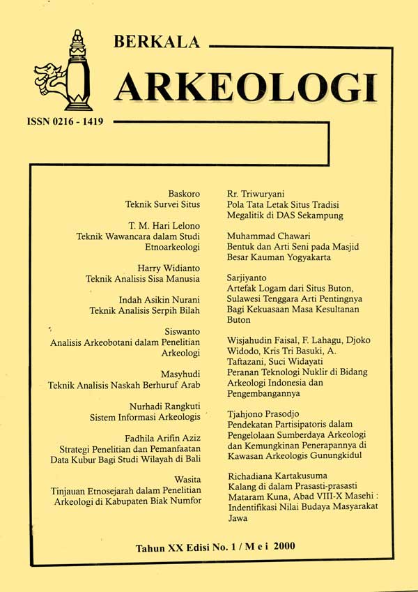
SISTEM INFORMASI ARKEOLOGIS
Main Article Content
Abstract
Establishing an SIA with a GIS application is a challenge because it is full of obstacles. The real obstacles are the limited tools (hardware and software) and the lack of trained personnel. In addition, new equipment and systems will affect the running of an organization. To be able to carry out SIA properly requires not only investing in computers, digitizers, plotters, color printers, GIS software itself, and spatial data (maps, aerial photographs, satellite imagery), but also training managers, planners and data collectors in using the technology. With the formation of computer-based SIA, it is necessary to have a kind of "computer department" within the Puslit Arkenas, which specifically deals with the problem of information system design and system analysis.
Article Details

This work is licensed under a Creative Commons Attribution-NonCommercial-ShareAlike 4.0 International License.
References
Aronoff, Stan, 1989, Geographic Information System: A Management Perspective, Ottawa, Canda: WDL Publications.
Bernhardsen, Tor, 1992, Geographic Information System, Norwegian Mapping Authority.
Crumley, Carol L dan William H. Marquardt, 1990, Landscape: A Unifying Concept in Regional Analysis, dalam Interpreting Space: GIS and Archaeology (ed.Kathleen M.S. Allen), Taylor and Francis, London-New York-Philadelphia.
Green, W. Stanton, 1990, Approaching Archaeological Space: An Introduction to the Volume, dalam Interpreting Space: GIS and Archaeology (ed.Kathleen M.S. Allen) , Taylor and Francis, London-New York-Philadelphia.
Jatmiko, Retnadi Heru, 1996, Input Data dalam Sistem Informasi Geografis, Handout Pelatihan Sistem Informasi Geografi Angkatan ke-4, di Yogyakarta 19-31 Agustus 1996, Fakultas Geografi Univ. Gadjah Mada di Y ogyakarta.
Karmono Mangunsukardjo, 1996, Inventarisasi dan Evaluasi Sumberdaya Lohan, dipersiapkan untuk Pelatihan Interpretasi Citra Penginderaan Jauh dan Sistem Informasi Geografis, 5 Agustus - 4 November 1996, Kerjasarna Fakultas Geografi Universitas Gadjah Mada dengan Departemen Transmigrasi dan Permukiman Perambah Hutan, di Yogyakarta.
Rangkuti, Nurhadi, 1996a, Arkeologi Terapan dan Masa Depannya di Indonesia, dalam Pertemuan Ilmiah Arkeologi VII, Cipanas 12-16 Maret 1996, Jakarta: Proyek Penelitian Arkeologi Jakarta 1997-1998.
Rangkuti, Nurhadi, 1996b, Aplikasi Sistem Informasi Geografis dalam Penelitian Arkeologi Skala Wilayah, dalam Jurnal Penelitian Arkeologi Nomor 04, Yogyakarta: Balai Arkeologi.
Rangkuti, Nurhadi, 1997, Penelitian Arkeologi Dalam Kaitannya dengan Pelestarian
Benda Cagar Budaya, Buletin Arkeologi Amoghapasa, nomor 6/III/Maret 1997, Suaka Peninggalan Sejarah dan Purbakala Provinsi Sumbar dan Riau.
Rangkuti, Nurhadi, 1999, Evaluasi Kawasan Sumberdaya Arkeologis: Usulan Model Kajian Arkeologi Terapan, dalam Pertemuan Ilmiah Arkeologi VIII, Yogyakarta, Februari.
Rangkuti, Nurhadi dan Novida Abbas, 1994, Pangkalan Data Arkeologi dan Pembentukan Sistem Informasi Arkeologi, dalam Evaluasi Hasil Penelitian Arkeologi di Palembang, September.
Scovill, Douglas H., Garland J. Gordon dan Keith M. Anderson, Guidelines for the Preparation of Statesments of Environmental Impact on Archaeological Resources, dalam Conservation Archaeology A Guide For Cultural Resource Managements Studies (ed. Michael B. Schiffer dan George J. Gumerman), New York: Academic Press.
Stine, Roy S. dan David P. Lanter, 1990, Considerations for Archaeology Database Design, , dalam Interpreting Space: GIS and Archaeology (ed. Kathleen M.S. Allen), Taylor and Francis, London-New York-Philadelphia.
Vink, A.P.A. 1983, Landscape Ecology and Landuse, Longman: London New York.

